New technology is shaking up the way scientists track earthquakes and tsunamis.
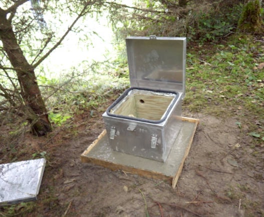
On Haida Gwaii, staff with Natural Resources Canada recently installed a new seismometer south of Ian Lake and upgraded equipment at some of the eight other seismic monitoring stations between Langara Island and Jedway.
Part of the upgrade was to install new GPS gear that uses satellites to record even tiny, millimetre-sized ground shifts in real-time.
“GPS is quite an important tool, especially for earthquake early warning,” says John Cassidy, a seismologist with NRCan.
West of Vancouver Island, Oceans Network Canada is currently developing a prototype network of real-time GPS and other sensors that is expected to go live next March.
When an earthquake strikes, the network will be able to warn people a few seconds to a few minutes before the shaking reaches them.
“It’s not a lot of time, but it is enough time to have people move away from windows or from chimneys that might collapse, to get under desks, under tables, and protect themselves,” Cassidy said.
The early earthquake warning system could also trigger automated systems to do things like open fire hall doors or stop passenger trains.
It would take many more instruments, but a similar early earthquake warning system could eventually cover all of coastal B.C.
“That’s they key, to have enough instruments on the ground,” Cassidy said.
Recent research shows that including real-time GPS sensors in a monitoring network also leads to better estimates of an earthquake’s magnitude.
In 2011, it became clear that conventional seismic networks aren’t always enough. Despite having the world’s densest network of seismometers, Japan’s early warning system underestimated the size of the 9.0 earthquake that hit Tohoku that March.
GPS technology is also changing the way scientists forecast and track tsunami waves.
For local tsunami, there is no early warning system yet in B.C.
Right now the earliest sign a local tsunami may be coming is ground shaking that lasts about a minute or longer or makes it difficult to stand.
“Any strong shaking is an indication to move away from water, whether you’re on a lake, or an inlet, or the open ocean,” said Cassidy, noting that besides the earthquake itself, local tsunami can be generated by landslides and submarine landslides.
Tsunami waves that come from distant places are another story.
It took an hour and 39 minutes before the first tsunami arrived on Haida Gwaii from the 7.9-magnitude earthquake that struck south of Alaska on January 23.
Using seismic data from across the U.S. and Canada, a tsunami warning center in Alaska sent out alerts that were relayed by Emergency Management B.C. and local governments.
Thankfully, when the tsunami finally showed up, the biggest wave was just 12 cm tall.
But emergency planners worry that people won’t take tsunami warnings seriously if they have to evacuate for such minor waves.
The trouble is it’s hard to know immediately if even a major earthquake will generate tsunami.
As Cassidy explained, most earthquakes along the Queen Charlotte Fault west of Haida Gwaii or the San Andreas Fault west of California are “strike-slip” earthquakes that don’t generate large tsunami waves. That’s because most of the ground motion in a “strike-slip” is horizontal, not vertical.
But the 7.8-magnitude earthquake that hit west of Haida Gwaii in 2012 was different — the first major “thrust” earthquake recorded in the area, it did involve vertical motion, and it sent out tsunami waves that ran up over seven metres high in some inlets along the west coast of Moresby Island.
Using real-time GPS sensors that can track vertical or horizontal shifts in the ground, scientists are hoping they will soon be able to tell almost instantly if an earthquake is a “thrust” or a “strike-slip” and whether it will generate large tsunami.
In the U.S. and Japan, two prototype networks are already testing the idea.
Another emerging technology uses GPS in an even more surprising way.
Recent studies show that tsunami waves can cause electrical disturbances way up in the ionosphere — the layer of atmosphere 80 to 1,000 kilometres above the Earth that is best known as the home of the Northern Lights.
According to NASA, what happens is that when tsunami waves form, the air above them gets compressed or extended.
Moving at over 300 metres per second, those air compressions create a detectable pattern of electrical disturbances when they reach the ionosphere.
To prove the concept, a team of scientists from NASA and Sapienza University in Italy looked back at old data collected by a network of GPS receivers on Hawaii after the 2012 Haida Gwaii earthquake.
Looking at signals received from the satellite closest to Haida Gwaii, they were able detect the tsunami waves before they reached Hawaii.